
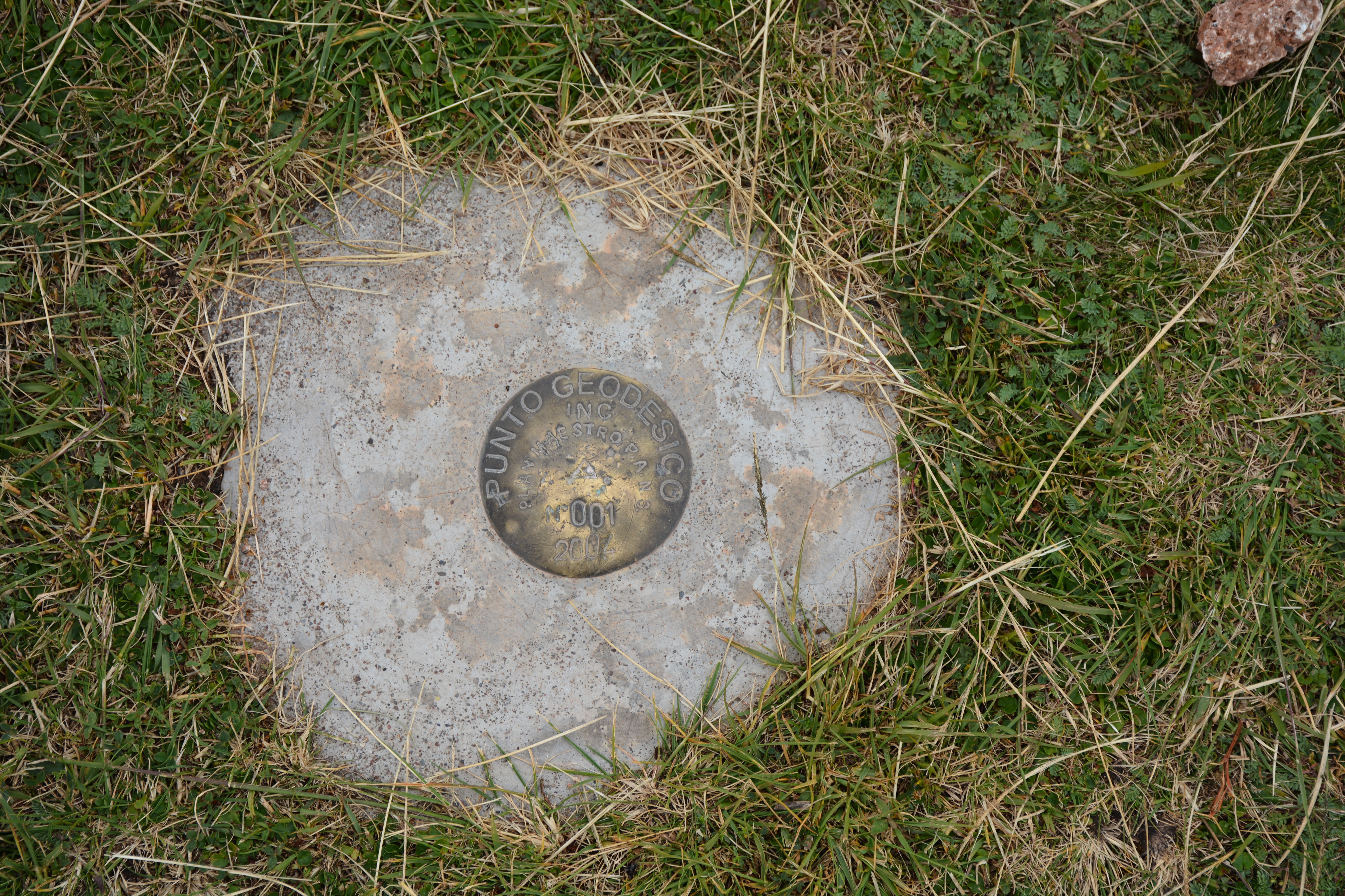
A Punto Geodesico, a Geodesic Point, that represents a specific geologic point or elevation used by the Peruvian Geologic Survey. Similar to a USGS Elevation Point in the US.

Photo of Benito’s son’s dog and Benito’s grandchildren at the bofedale.
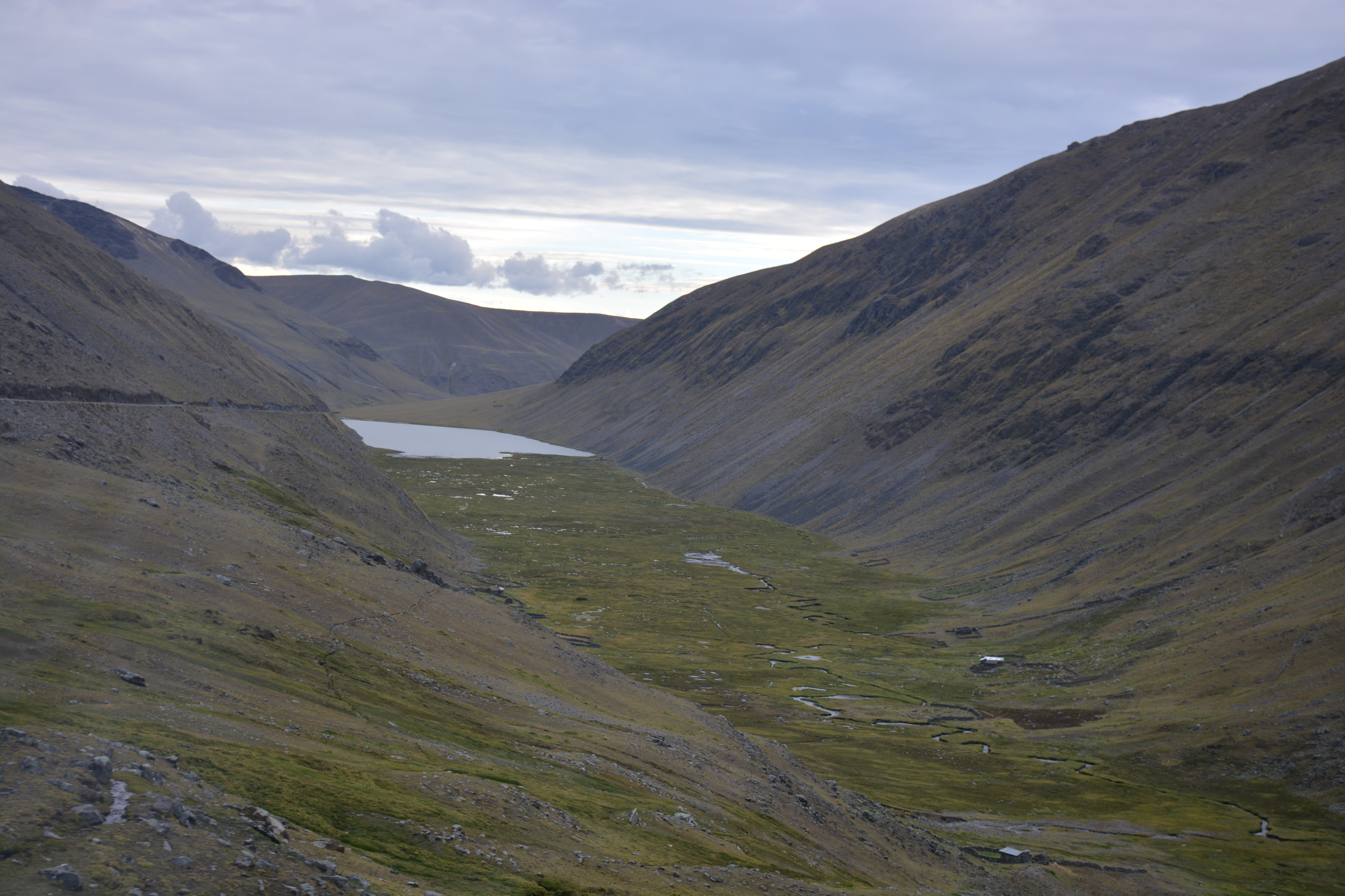
A photo of one of the lower field sites in the Andes. This glacial valley is approximately 300m wide at an elevation of approximately 14,000ft.

An alpaca drinking beer as part of an alpaca blessing ceremony.

Machu Picchu from the Sun Gate, the highest point on the Inca Trail.