 On Friday the 4th of July Val and I hiked up to Big Meadows
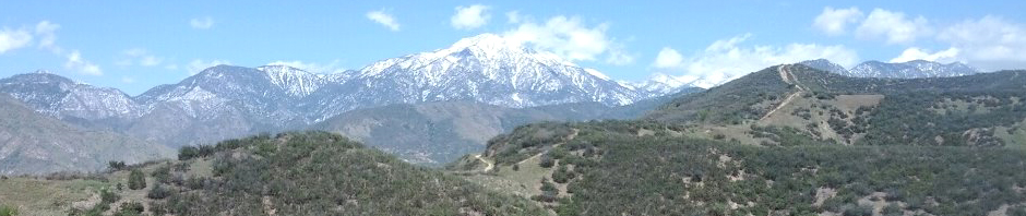
 , the headwaters of the Santa Ana River. For most of its length, from San Bernardino to Huntington Beach, the Santa Ana is just a ditch that the Corps of Engineers paved and dammed to prevent floods. I often cycle a popular bike path that follows the ditch 20 miles south from San B, passing an incinerator, two landfills and a sewage treatment plant. Up here, at about 7,000 feet elevation on the northern side of the San Gorgonio wilderness, the Santa Ana is a charming creek that flows from a meadow that’s lush even in summer. From the trailhead on Route 38 on the way to Big Bear, it was about an 8.5-mile walk that we covered in a leisurely four hours. The trail was a little hard to follow in places, so we appreciated the signage.