Decommissioned
 Latitude: 39.8632 N
Longitude: 86.5083 W
Click here for Google map
Elevation: 289 m ASL [data source: NED1]
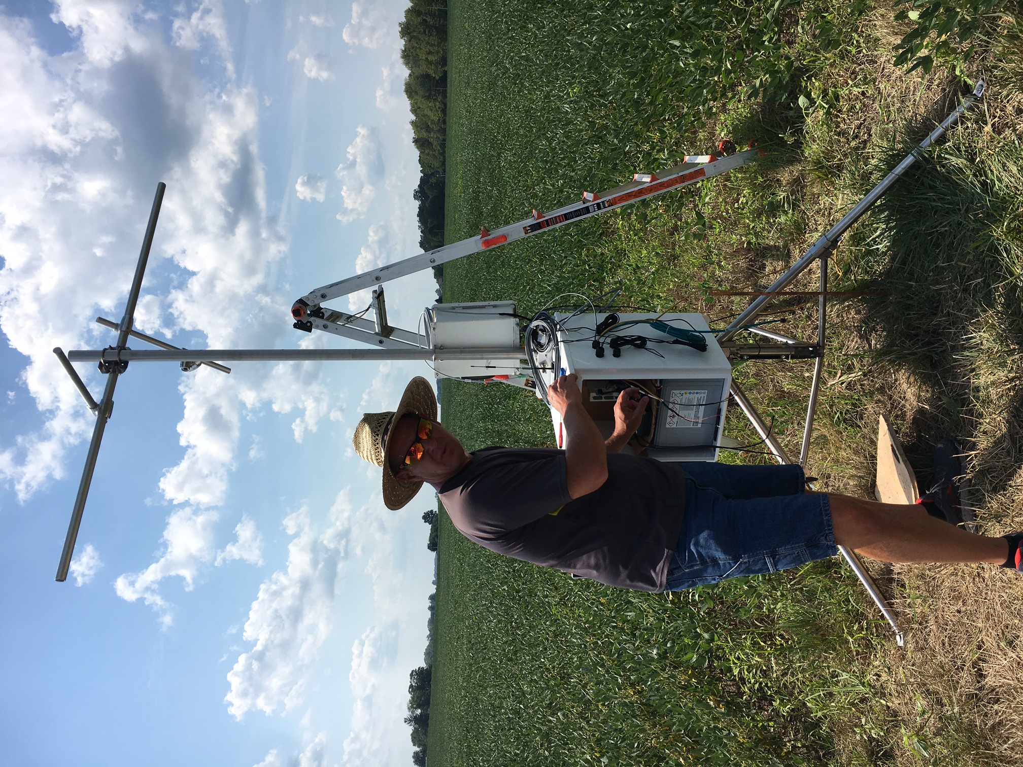
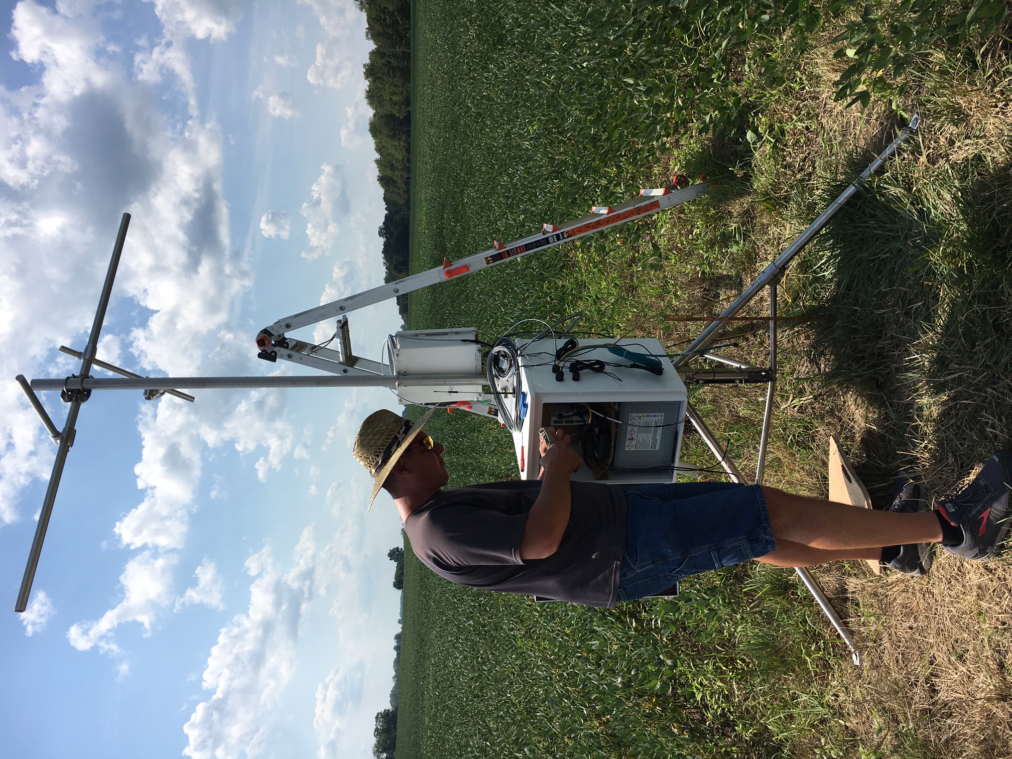
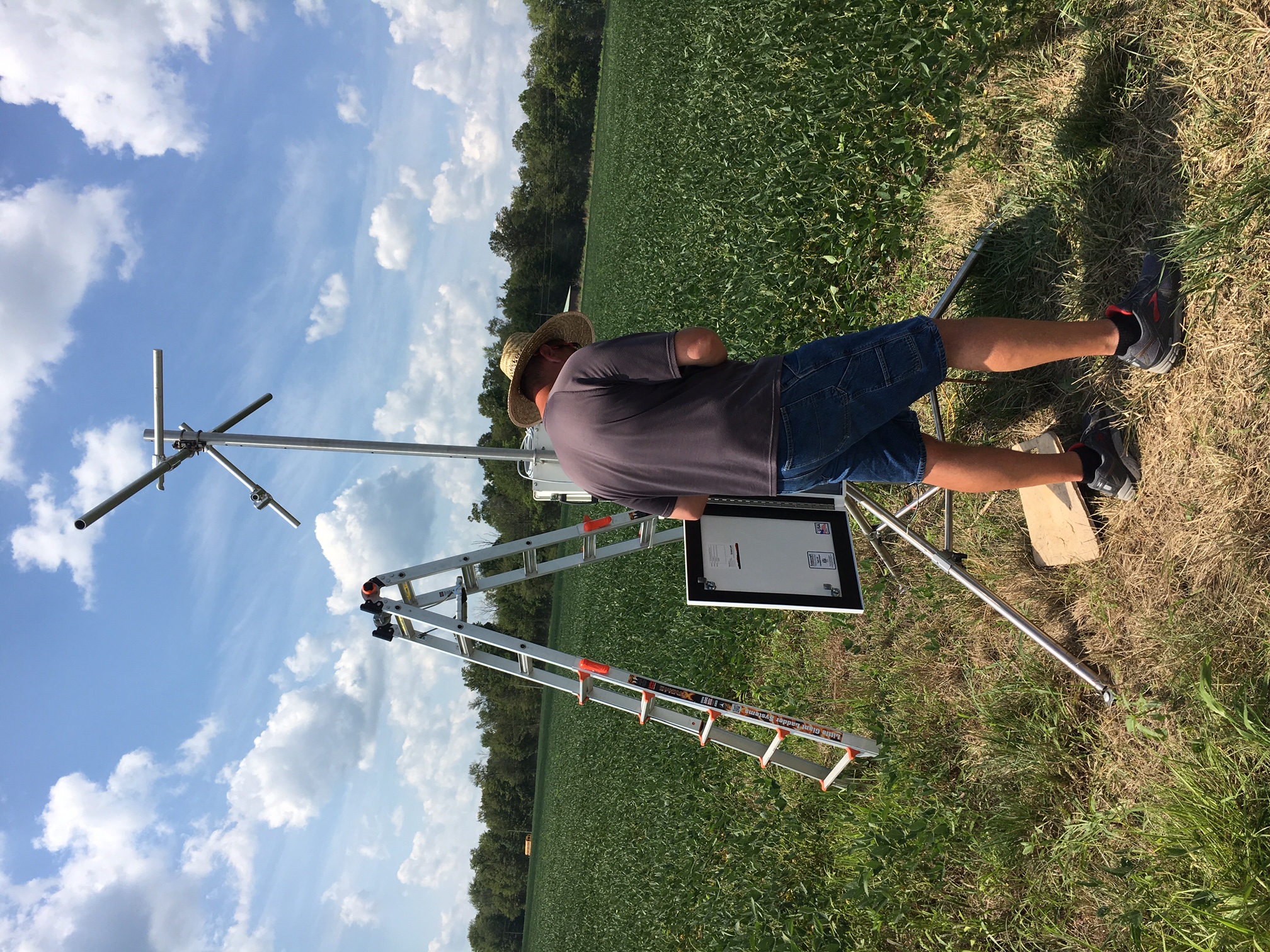
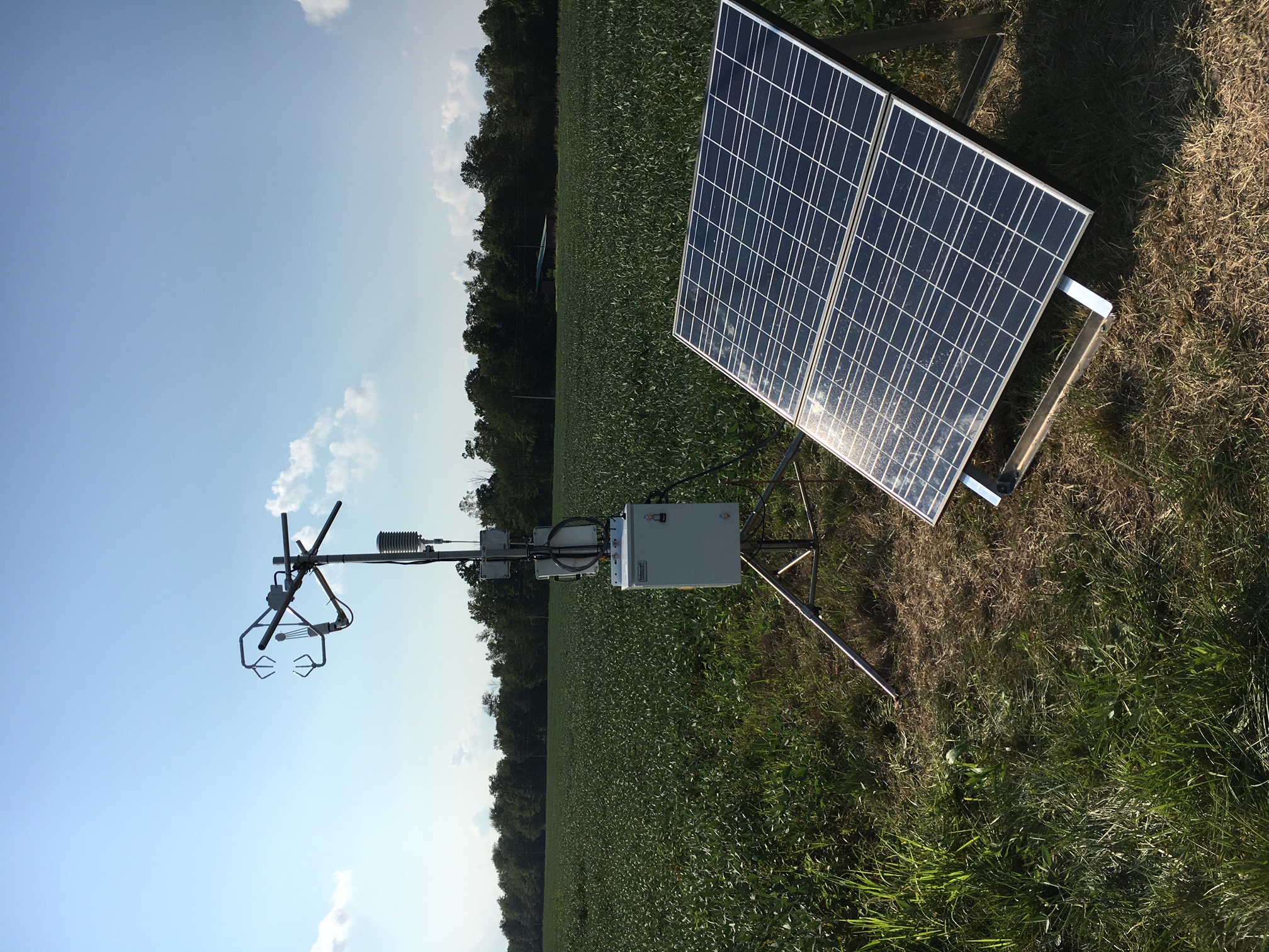
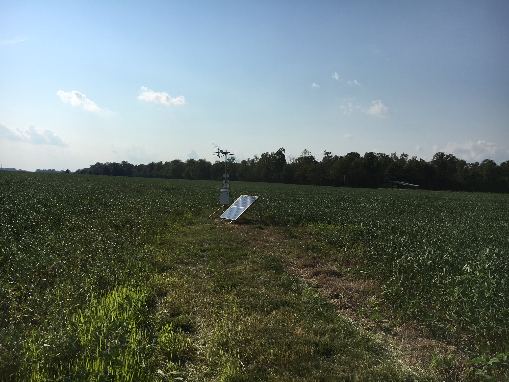
Installation Date: 10 August 2017
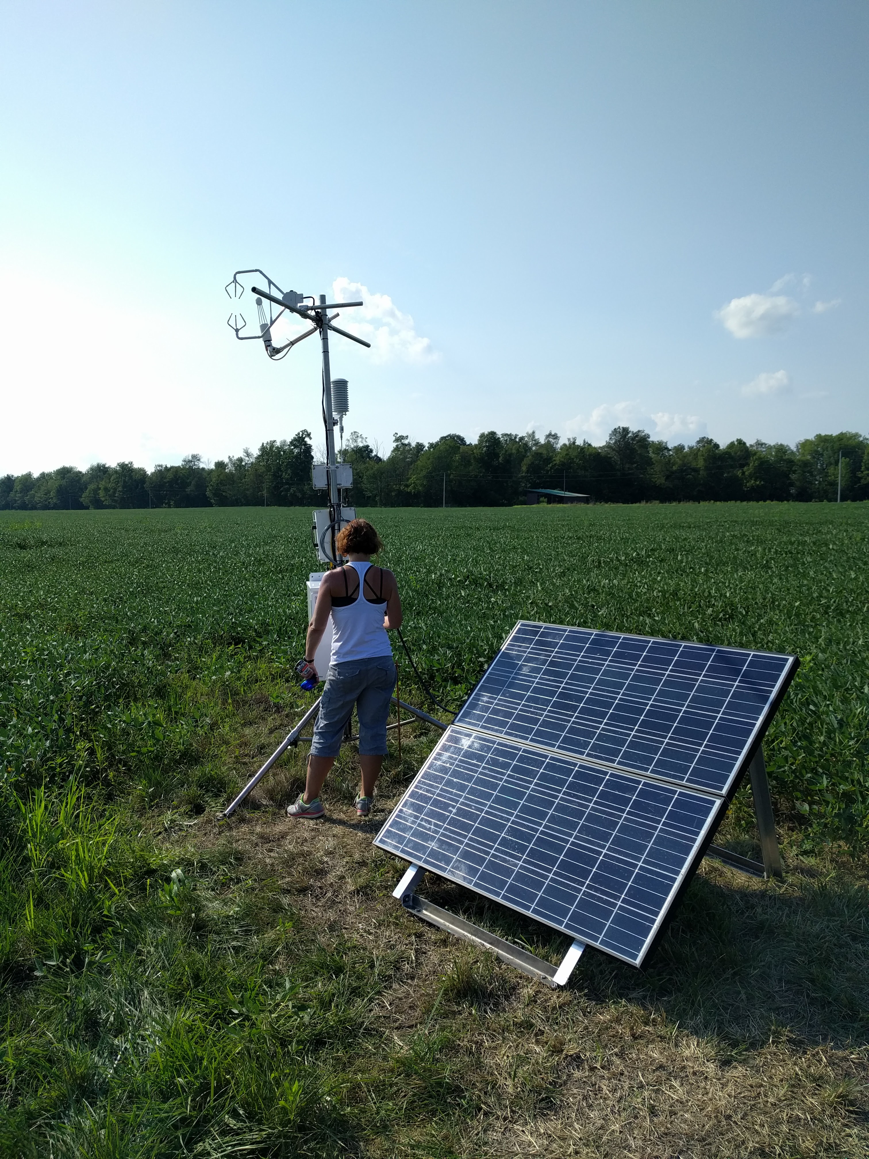
Sampling Heights: 3 m AGL
Landcover: Soybean in 2017, Corn in 2018, Soybean in 2019, (winter wheat), Corn in 2020
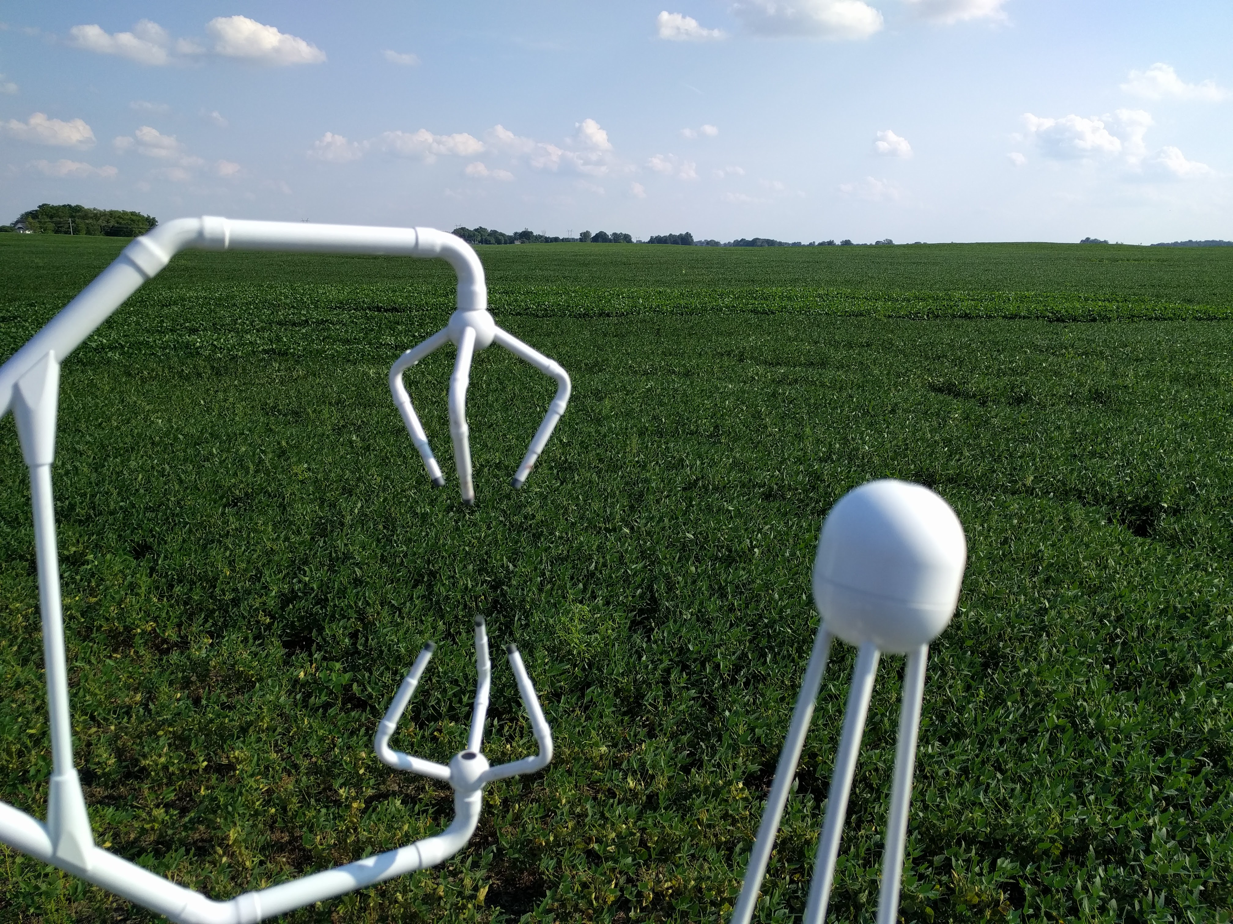
Instrumentation:
– LI7500 Open Path CO2 Flux Sensor
– Campbell CSAT3 Sonic Anemometer
Data is stored locally and 30-min fluxes are calculated in real-time using Smart Flux 2 and EddyPro software. Data uploaded to FluxSuite website for data analysis and quality assurance/control.
Harvest data: 150 bushels/acre in 2020 (only available data).