Decommissioned 20 April 2019 – instrumentation relocated to corn field near Site 14
Latitude: 39.8273 N
Longitude: 86.1790 W
Click here for Google map
Elevation: 236 m ASL
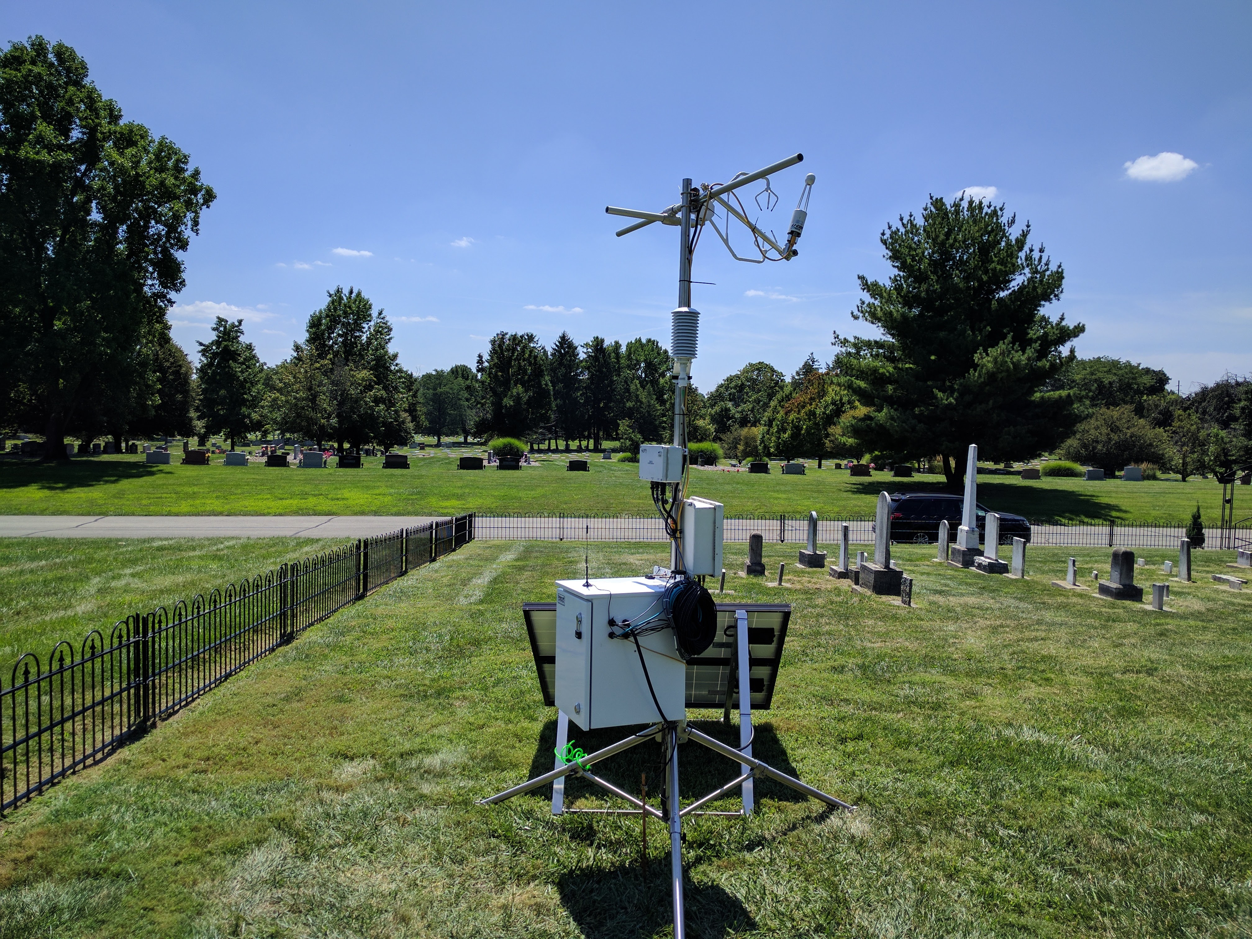
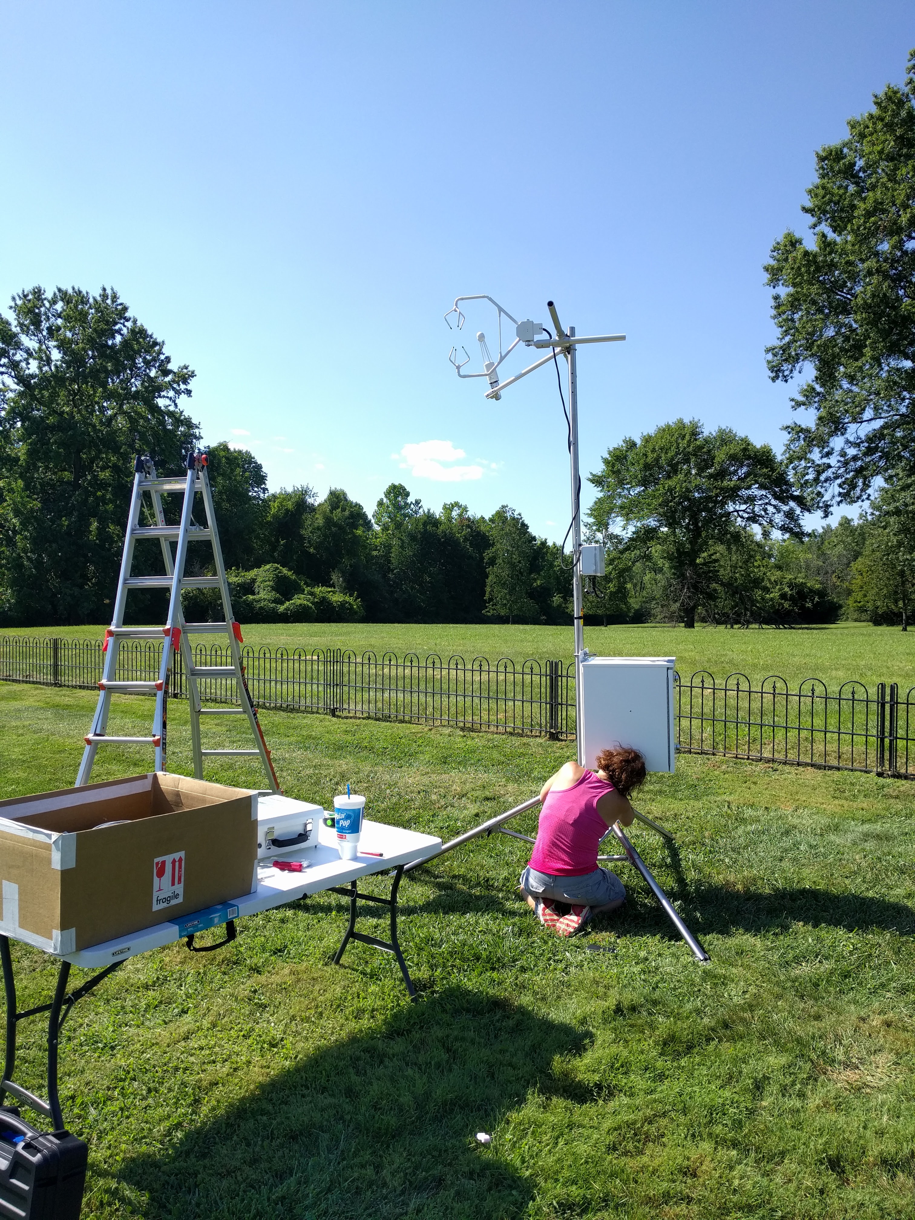
Installation Date: 8 August 2017
Sampling Heights: 3 m AGL
Landcover: Grass (Urban Park)
Instrumentation:
– LI7500 Open Path CO2 Flux Sensor
– Campbell CSAT3 Sonic Anemometer
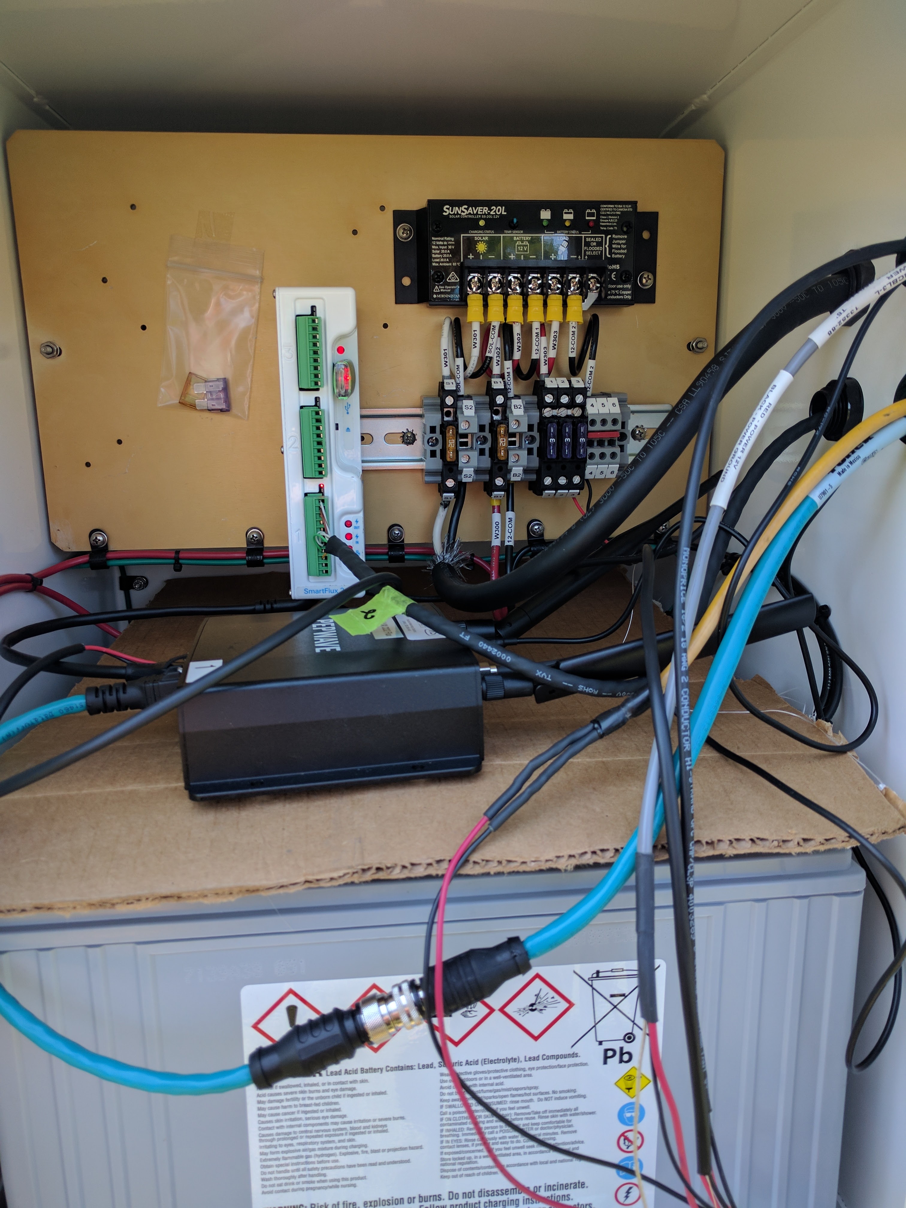
Data is stored locally and 30-min fluxes are calculated in real-time using Smart Flux 2 and EddyPro software. Data uploaded to FluxSuite website for data analysis and quality assurance/control.