DECOMMISSIONED 2 OCTOBER 2020
Latitude: 39.5805 N
Longitude: 86.4207 W
Click here for Google map
Elevation: 256 m ASL
Installation Date: 22 September 2010
Sampling Heights: 10 / 40 / 121 m AGL
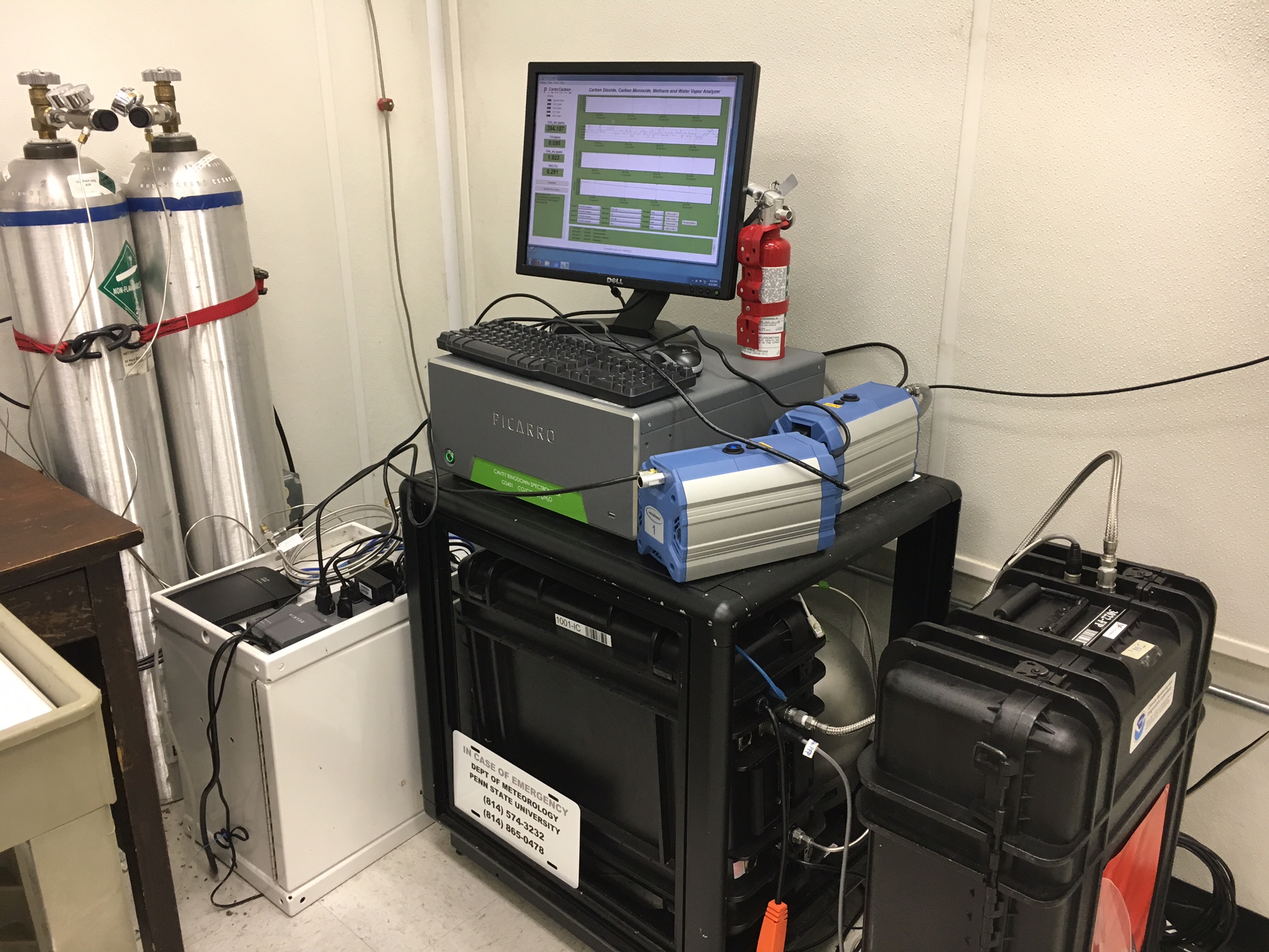
In-situ GHG Instrument:
CFKADS2218 (10 July 2016 – 2 October 2020)
CFKADS2025 (June 2016 – 10 July 2016)
CFKADS2005 (Oct 2015 – June 2016)
CFKADS2025 (Dec 2012 – Oct 2015)
CFKADS2060 (Jun 2012 – Aug 2012)
CFKADS2006
CADS06 (CO2)
NOAA Flasks
| Reference Tank | CO2 (ppm) | CO (ppb) | CH4 (ppb) | Pressure (psi)/ Date |
| CC309297 new NOAA scale (old NOAA scale) |
378.59 (378.61) | 146.84 (145.3) | 1789.44 (1790.0) | 1750 Dec 2012; 1650 Apr 2013; 1500 Nov 2013; 900 Oct 2015; 425 psi June 2017; 350 psi Sept 2017; 300 Dec 2017 (not currently sampled)* |
| CC310071 | 417.06 (417.06) | 234.96 (233.7) | 2460.51 (2461.2) | 1550 Dec 2012; 1500 Apr 2013; 1300 Nov 2013; 800 Oct 2015; 300 psi June 2017 (not currently sampled), moved to storage unit |
| LL120786 | 416.41 | 142.3 | 1964.3 | 1400 Dec 2017; 1200 June 2018; 1000 Dec 2018; 1000 Apr 2019 |
| LL120770 | 423.92 | 144.5 | 2026.0 | ~1500 psi (not being sampled yet) |
* As of June 2018, there are three tanks there. One medium size being sampled, one extra medium size, and one large with 300 psi.
Notes: Pump to purge unused lines added 12-Oct-2010


June 2017