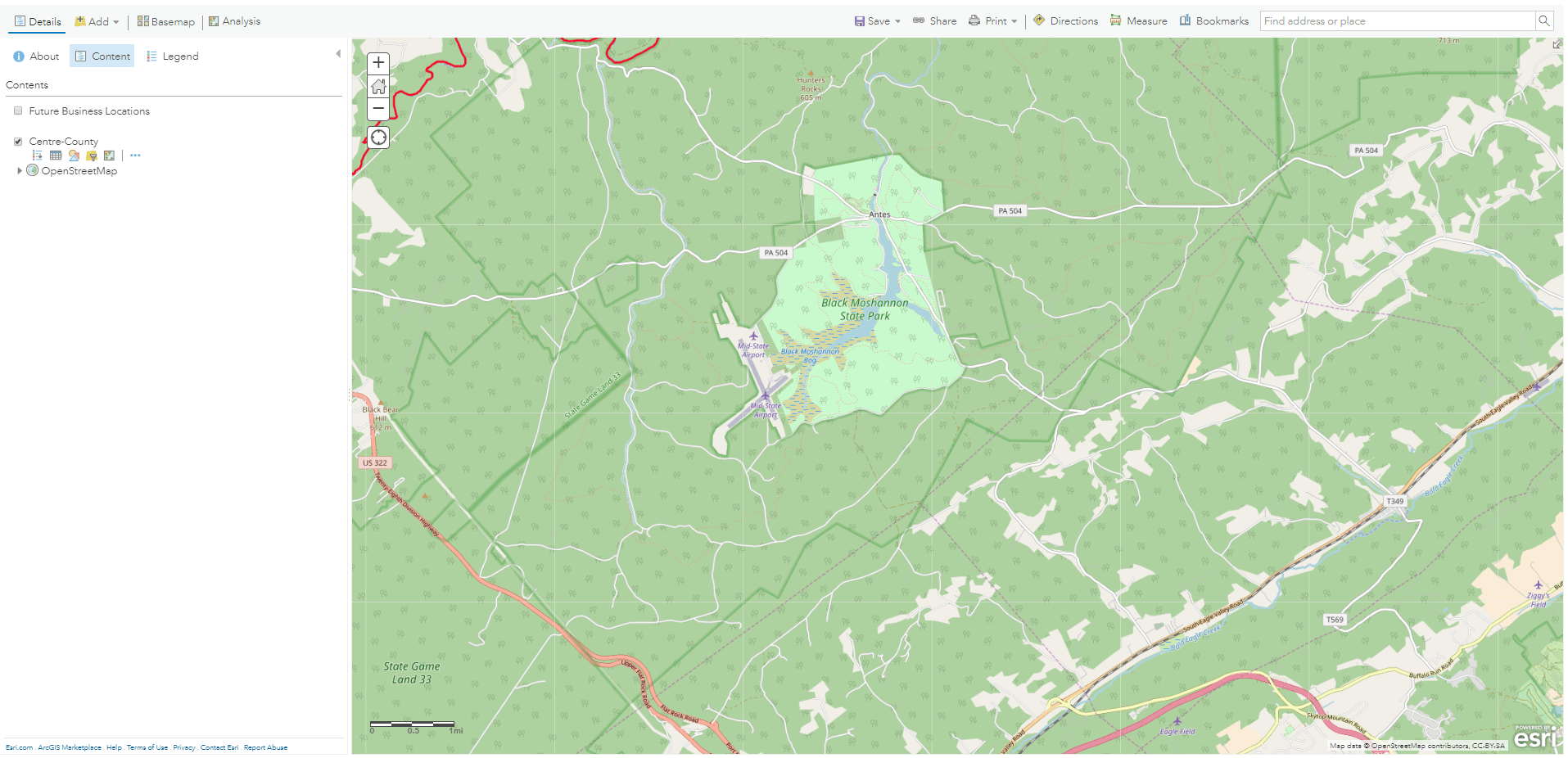
Finding ways to stay up-to-date with ArcGIS Online features, updates, and uses can be helpful in your own work as new projects, ideas, and classes arise. As you may be exploring a geospatial project for a specific topic, audience, and analysis, there may come a time in which your audience and project direction may benefit from a new dataset, visual presentation, and/or interaction with users. Keep these tips in mind for those both new to ArcGIS Online and those experienced users wanting to stay current on ArcGIS Online features, updates, and documentation.
Here are tips for staying up-to-date with ArcGIS Online.
1. Check out ArcGIS Help Documentation: What’s New Page.
- ArcGIS Online Help, What’s new page: This page provides an overview of the main updates to the ArcGIS Online with periodic updates.
2. Check out the ArcGIS Online Blog for announcements.
- ArcGIS Online Blog for announcements of new features, stories about the use of new features, and helpful case studies for other industries.
3. Stay connected to the GIS user community.
- Check out the GeoNet, the Esri Community, for threads, questions, and responses on topics related to ArcGIS online. For instance, if you are interested in other topics on Story Maps, check out the Esri Community page on Story maps to connect with other users.
4. Subscribe to email updates on products and topics of interest.
- See the many types of publications and ways to connect to news and updates on GIS products, including ArcGIS Online examples from multiple fields.
5. Subscribe to related GIS, geospatial technologies, and related technologies newsletters.
- Identify geospatial products, publications, and newsletters to stay current to on their use of ArcGIS Online
- One option is to follow organizations on social media to stay up-to-date on trends and new uses of ArcGIS Online in their organizations.

Submitted by Tara LaLonde, GIS Specialist, Donald W. Hamer Center for Maps and Geospatial Information