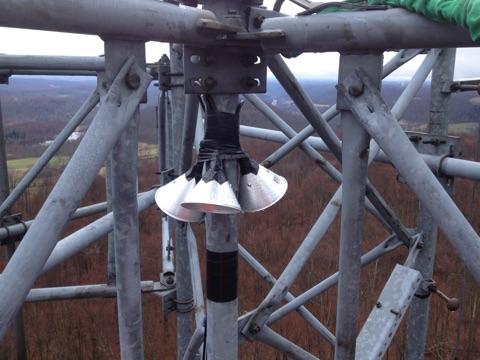
From tower looking North.
Latitude: 41.7685N
Longitude: 75.6807W
Click here for Google map
Elevation: 450 m ASL
Installation Date: 13 May 2015
Decommissioning Date: 28 Feb 2017
Sampling Height: 59 m AGL
In-situ CH4 Instrument: FCDS2049
NOAA Flasks
| Reference Tank | CH4 (ppb) x2004a | 12CH4 (ppb) | 13CH4 (ppb) | δ (per mil) | CO2 (ppm) | Pressure (psi)/ Date |
| CB10718 (NOAA/INSTAAR) | 1867.94 | 1849.1 | 18.8 | -47.264 | 399.67 | xxxx May 2015; 1820 Jan 2016 |
| CA06357 (Scott-Marrin/PSU) | 2079.7 | 2057.2 | 22.5 | -24.02 | 1890 Jan 2016 | |
| CA06410 (Scott-Marrin/PSU) | 10414 | 10303 | 110.7 | -38.52 | 1970 Jan 2016 |


From tower looking West.

From tower looking South.

From tower looking East.