This fall we are using four sites for the Remote Sensing Type Study Project. We made the first visit on 9/2. Above is a map of the areas visited. During the course of the semester we will look at the sites using different types of remote sensing imagery.
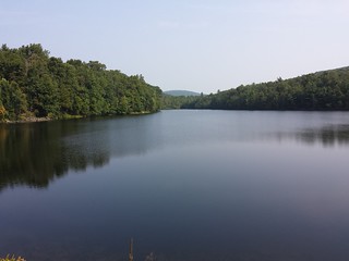
Birch Run Reservoir
This was the old site of the Chambersburg Reservoir. The dam was breached and partially removed in the early 2000’s. Since then there have been a significant number of forest plantings on the site. The stream has undergone significant restoration to improve it as a fishery. The surrounding forest is a mixed hardwood and pine forest. Many old pines can be seen poking through the canopy.
Waynesboro Watershed / Chestnut Planting
This site was previously a private farm. It is part of the Waynesboro Watershed property. It has had many experimental plantings and treatments over the years. Today most of the site is covered by a loblolly pine plantation and a fenced-in American Chestnut test plantation. There is also a mature white pine planted stand. It is surrounded by a mixed hardwood forest and private homes.
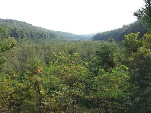
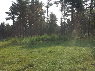
Waynesboro Reservoir
The reservoir is thirty acres in area and extends north of the earthen dam. The northwest side was heavily clearcut in the 1970’s leaving a small strip of trees along the shore, but appears to have largely grown in with a uniform stand of hardwoods. The rest of the site is surrounded by mixed hardwood forests. The grassy covering of the dam and the field below it are unique features within the forest.
Seed Orchard/ Golf Course
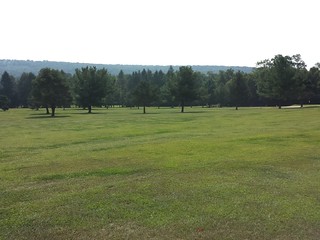
This site is one of the most unique parts of the Michaux State Forest. It is the only place where a nine-hole golf course sites next to a seed orchard. The seed orchard contains various tree plantings where the trees have been lopped to make it easier to collect seeds. The golf course contains various kinds of turf. The area around the golf course has been kept in a park-like condition with many pine trees. The entire site is on a plateau at the top of the valley.
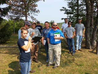
Below is this year’s FORT 230 class observing the last site.