Reedsville and Bald Eagle Formations, PA
Sedimentary Rocks I: Observing Changes in Sedimentary Environments
This is an Introductory Geoscience field trip that allows students to visit a sedimentary stratigraphic sequence from the Upper Ordovician of central Pennsylvania. Students are exposed to the Reedsville Formation, an Upper Ordovician turbidite sequence, and are able to make observations of the sedimentary rocks and measure a stratigraphic section. The Bald Eagle Formation sits directly ...

The Ordovician Salona Formation, PA
Sedimentary Rocks II: Transition From Shallow Water Carbonates to Siliciclastics
This field trip allows students to explore the transition from marine carbonates to siliciclastic rocks deposited during the Upper Ordovician period. Students are asked to make observations regarding grain size and bedding thickness and will create a stratigraphic section of part of the outcrop. Additionally, this outcrop contains multiple bentonite layers deposited during large ...

Strike and Dip Tool
Geological Field Skills: Measuring Strike and Dip of Rock Layers
Field geologists measure the strike and dip of exposed rock layers to infer the form of a geologic structure such as a fold or basin. Measurement of strike and dip, also known as the attitude of rock layers, helps geologists construct accurate geologic maps. For example, data on rock attitudes helps delineate fold structures in layered rocks. The attitude of other geologic structures like faults can be understood using strike and dip as ...

Visualizing Subsurface Data in 3D
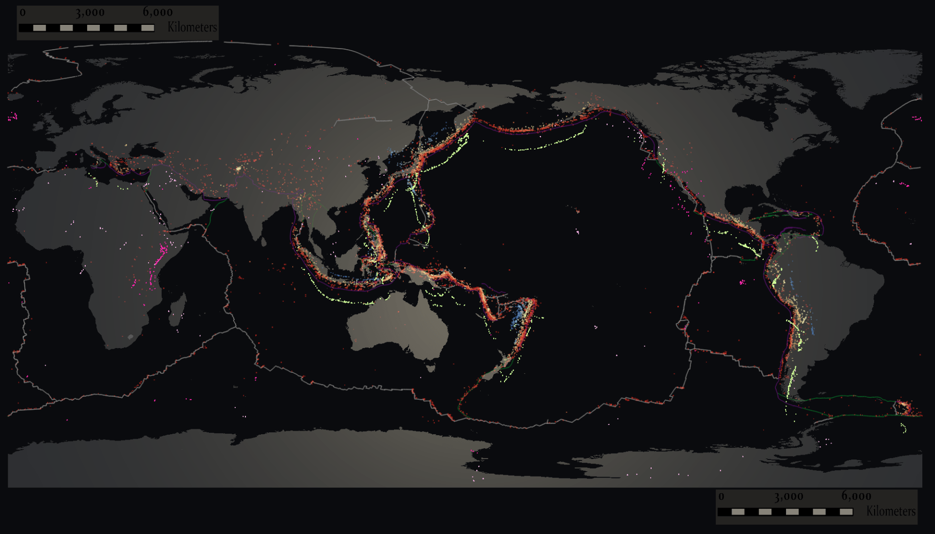
Visualizing Subsurface Data: USGS Centennial Earthquake Catalog in immersive VR
Visualizing world-scale geospatial datasets (i.e., subsurface data) in immersive VR (iVR) is challenging in terms of system requirements and user experience while keeping high performance graphically. Creating a good user experience requires fitting a world-scale dataset into a small play area in a way that is understandable, interactive, and provides a natural manipulation of the data. Scientists ...

