
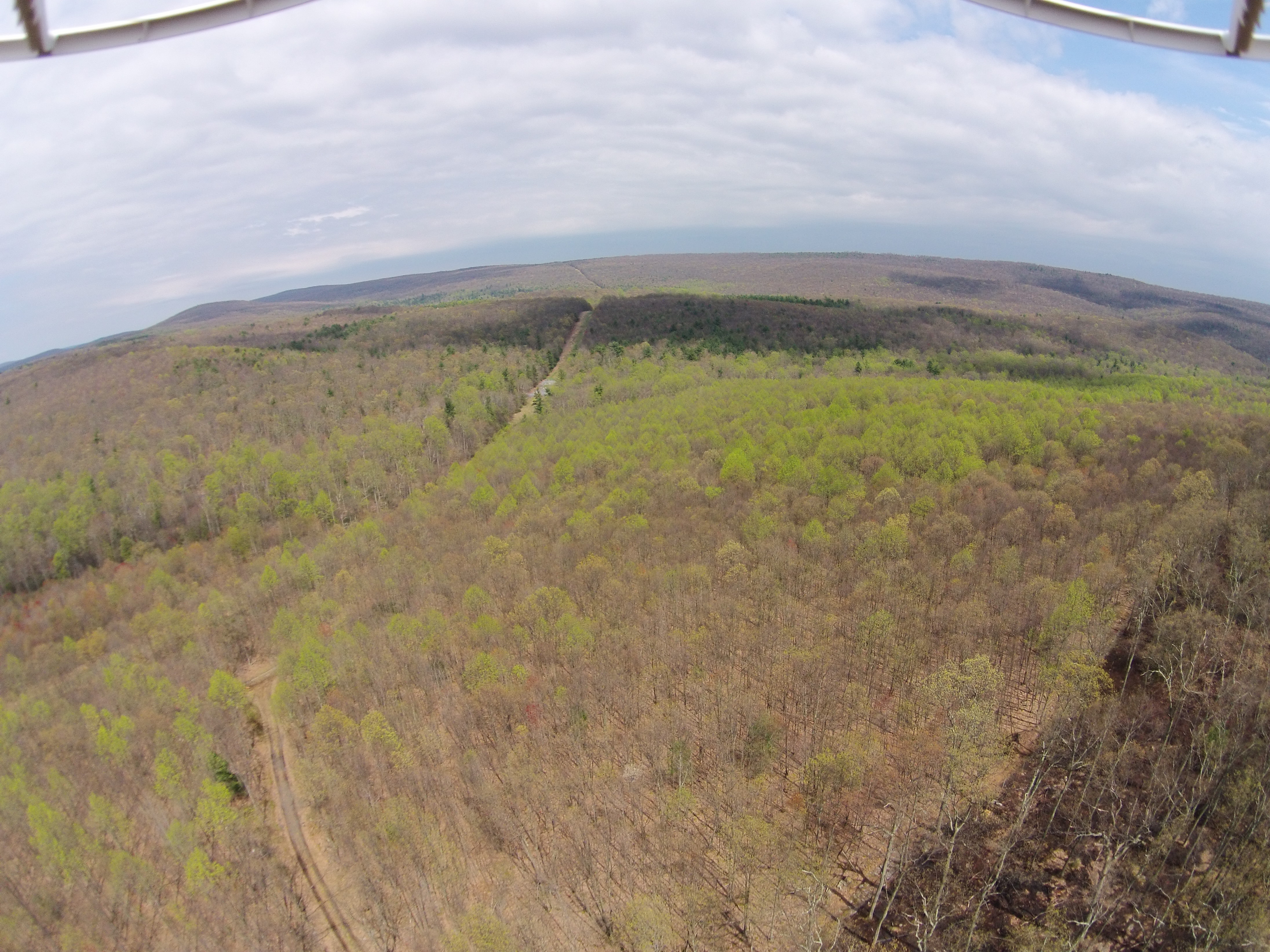
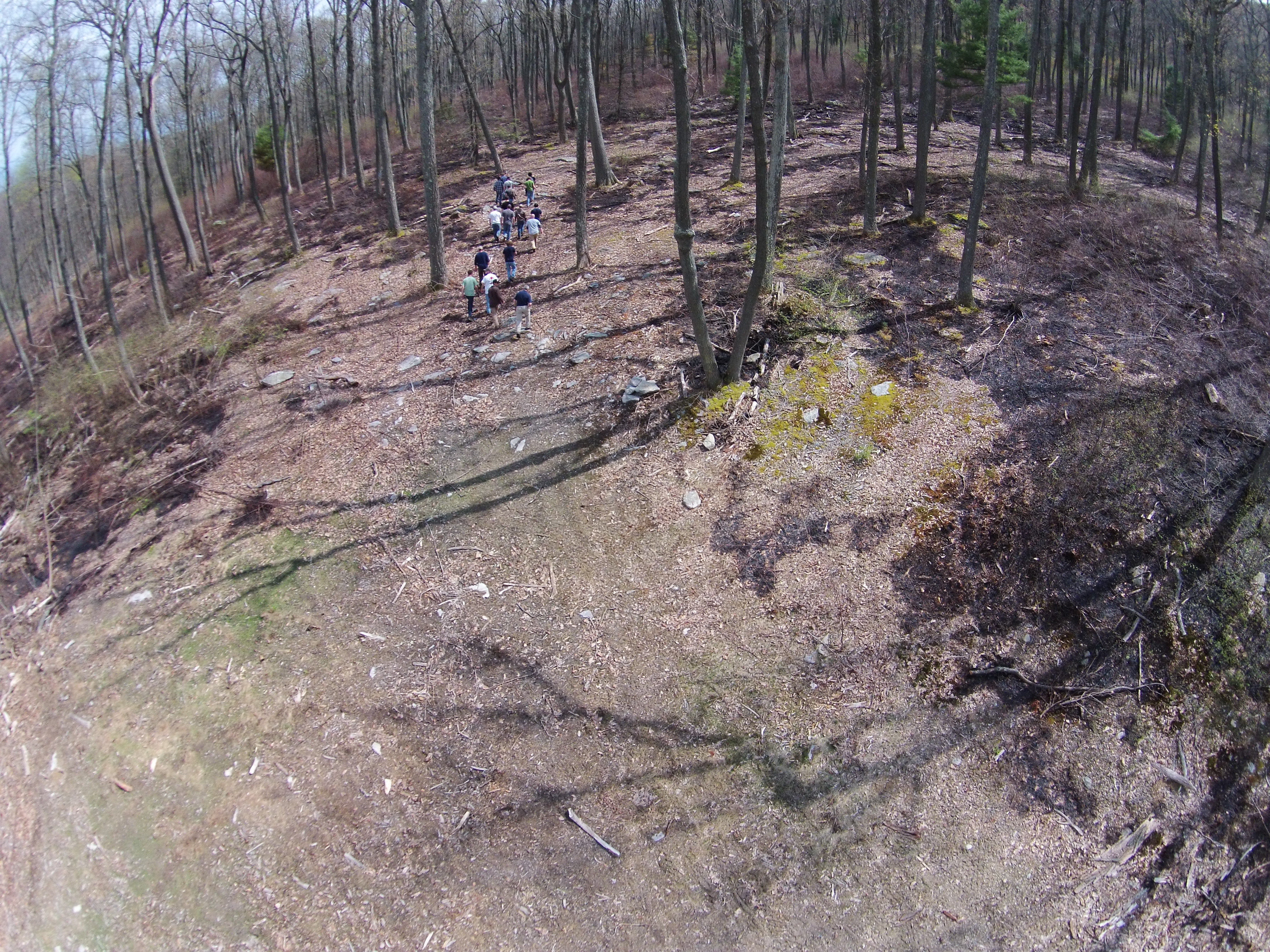
On Friday, May 1, 2015 the Forest Management Practices class visited a three-day old prescribed burn in the Michaux State Forest near Old Forge Road and the gas pipeline. The silvicultural purpose was to remove competition to the desired oak tree regeneration.
I used my DJI Phantom Vision 2 quadcopter to get some aerial images. The first two images clearly show the boundary of the burn. The third shows students studying the burn.

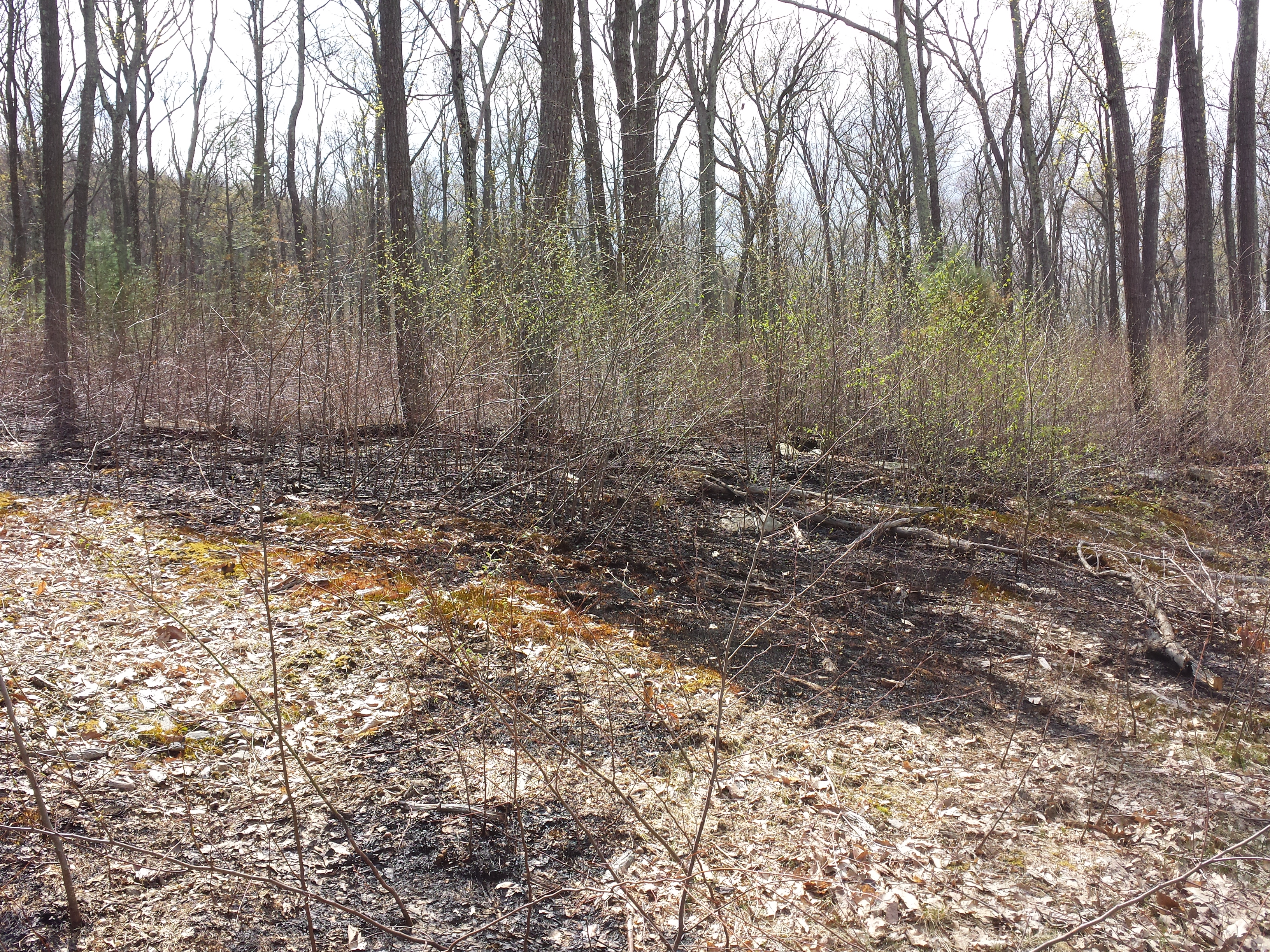
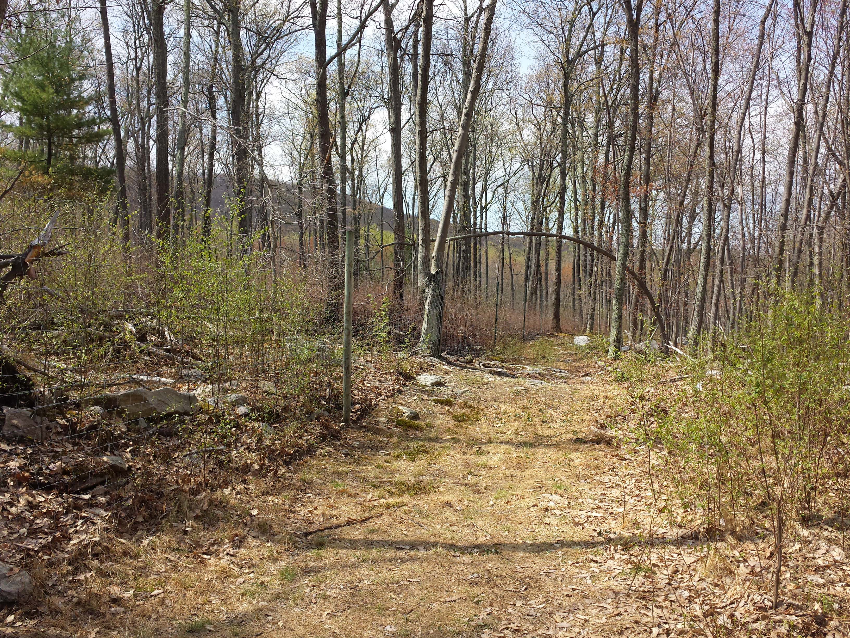
And From the ground. The last image shows the deer fence which was the boundary of the burn.

Here is a video from two different elevations.