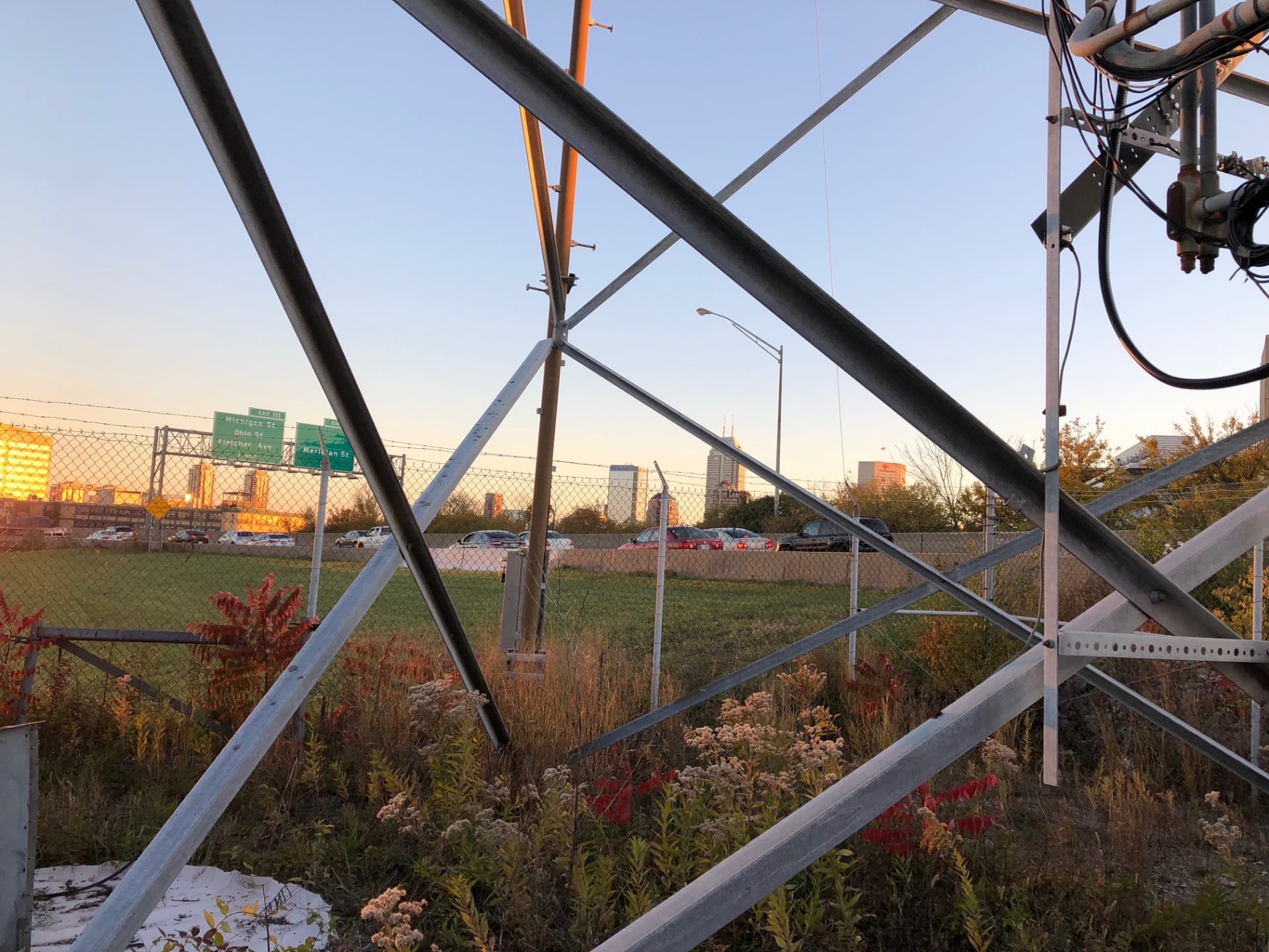
Latitude: 39.7833 N
Longitude: 86.1652 W
Click here for Google map
Elevation: 226 m ASL
Install Date: 1 June 2012
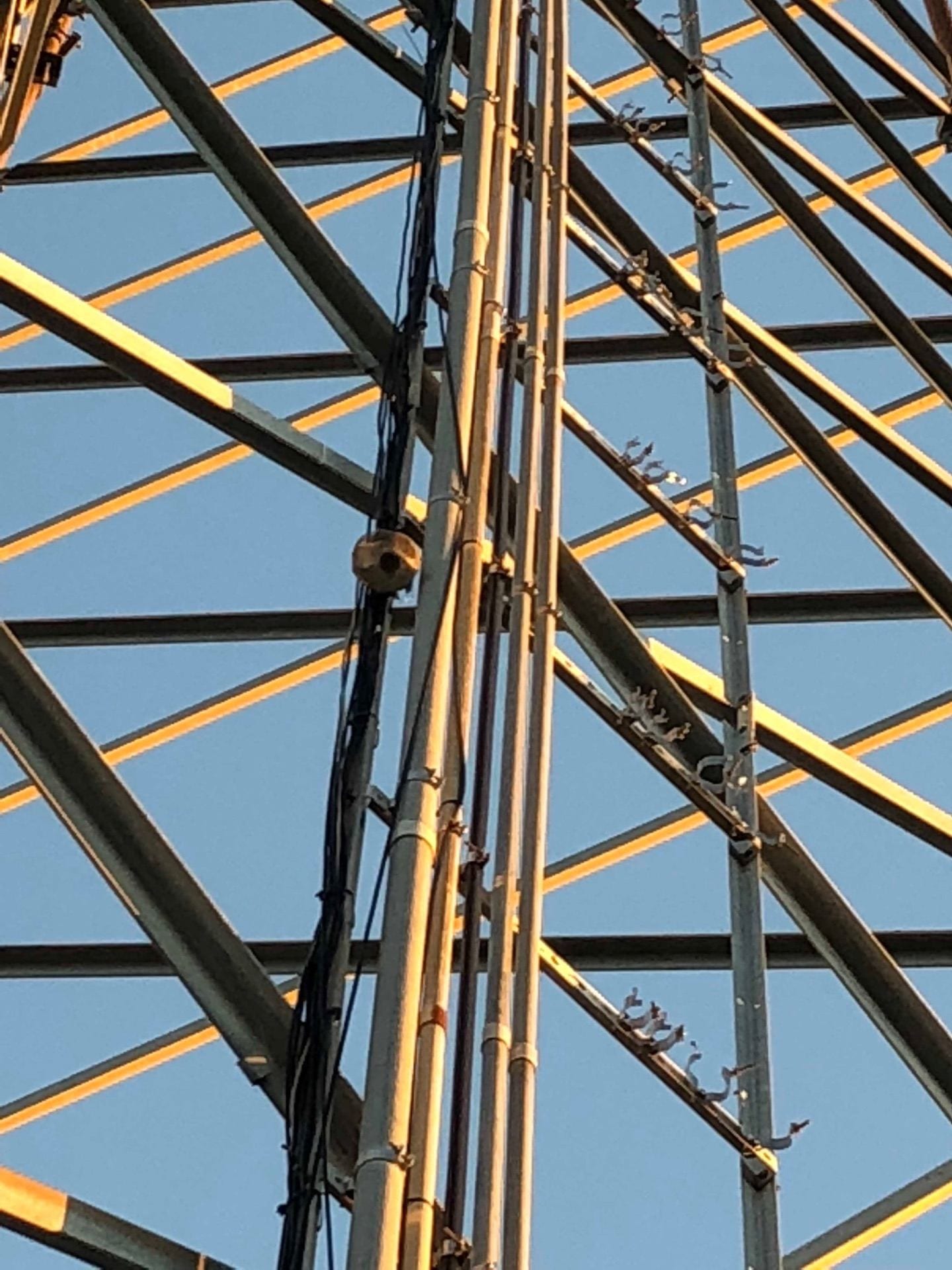
Sampling Heights: 10/20/40/54 m AGL
In-site GHG Instrument: CKADS2025 (CO2/CO) (5 January 2020 – current) CKADS2024 (CO2/CO) ( 14 November 2019 – 5 January 2020); CKADS2023 (CO2/CO) (7 November 2018 – 14 November 2019); CFKADS2025 (CO2/CH4/CO) (22 May 2018 – 7 November 2018); CKADS2023 (CO2/CO) (1 June 2012 – 22 May 2018)
NOAA Flasks
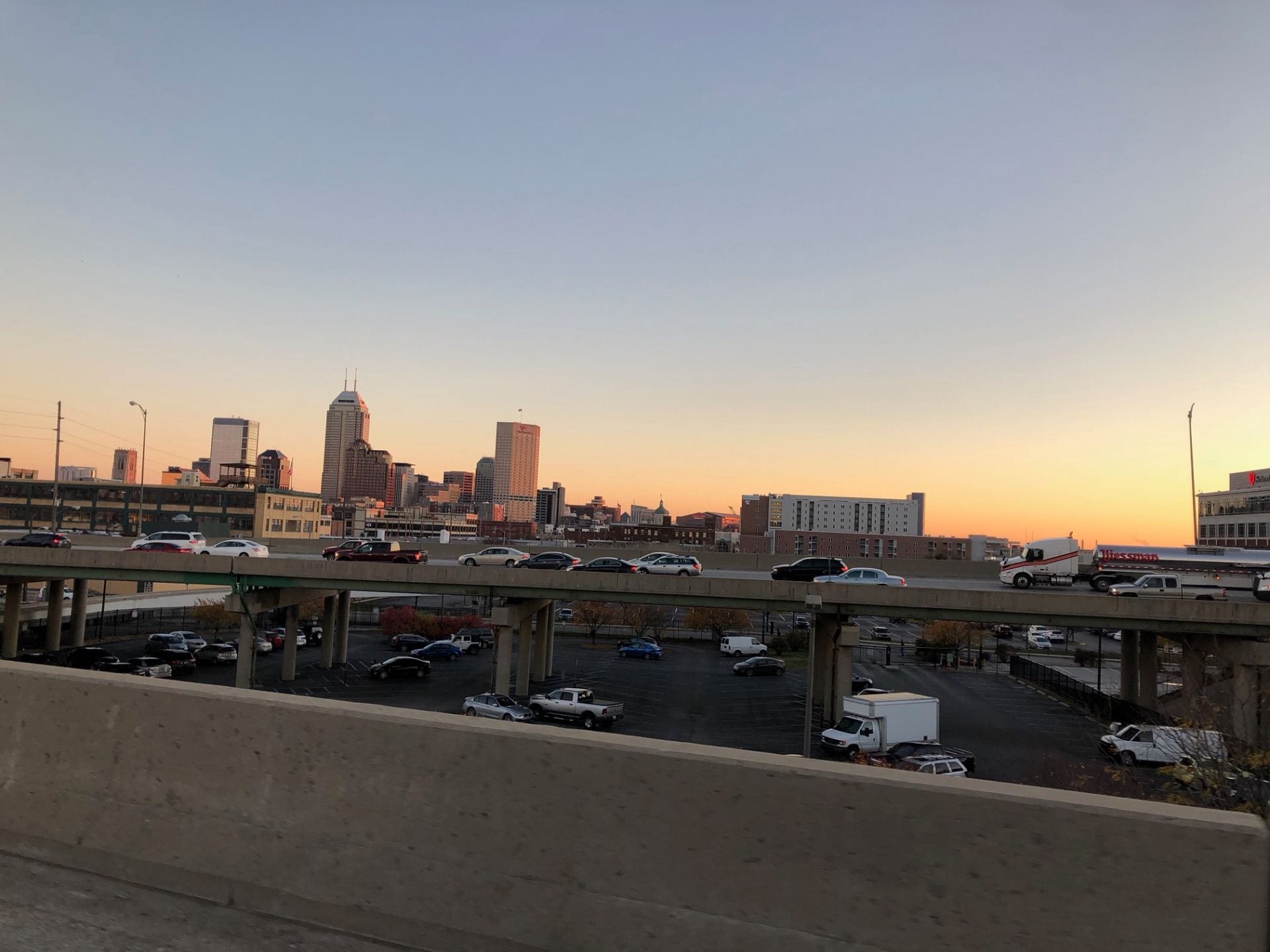
Flux Site 03 Urban
6 October 2020 – current
Sampling Height: 33 m AGL (previously estimated to be 28 m AGL)
Landcover: Urban
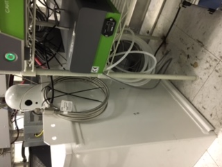
Instrumentation:
– LI7500 Open Path CO2 Flux Sensor
– Campbell CSAT3 Sonic Anemometer
Data is stored locally and 30-min fluxes are calculated in real-time using Smart Flux 2 and EddyPro software. Data uploaded to FluxSuite website for data analysis and quality assurance/control.
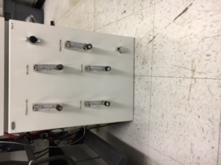
Bypass
| Reference Tank | CO2 (ppm) | CO (ppb) | CH4 (ppb) | Pressure (psi)/ Date |
| CC336768 | 395.96 | 148.4 | 1900 June 2012; removed | |
| CC336636 | 395.54 (395.52) | 149.15 (148.19) | 1600 Nov 2013; 1200 April 2015; 1050 Sept 2015; 650 April 2017 (not currently being sampled, actually 400 psi); removed | |
| LL120790 | 424.17 | 142.4 | 2020.5 | April 2018; 1450 May 2018; 900 Nov 2018; removed |
| CB11903 | 404.29 | 154.1 | 2058.9 | 1450 June 2019 WET; removed |
| CB09923 | 383.62 | 1962.8 | 800 Nov 2019; 800 Jan 2020; 400 Oct 2020 (no longer in use); removed | |
| CB10734 | 397.20** (x2019) 397.03 (x2007) | 135* | 1879.1 | 1600 Oct 2020; 950*** Feb 2022; 700 Oct 2022; 600 Jan 2023; (EMPTY – no longer in use) |
| CA06560-R | 424.22**** (x2019) | 134.8 | 1990.7 | 1950 Oct 2024; |
Additional Tubing Length: 6 m for PSU, 7 m for NOAA
* Field calibration
** NOAA tank look-up page indicates 397.30 ppm (x2019), but this tank was not officially calibrated by NOAA.
***Faster decrease than ideal, but no leaks detected.
****PSU lab value was 424.4 ppm (Oct 2022) but 424.22 ppm (Oct 2024) is consistent with three NOAA tertiary tanks.


April 2017:

November 2018: